Showing posts with label North Vancouver Island. Show all posts

Monday, July 01, 2024

A spider web of logging roads

 Vancouver Island north is a patchwork of new and old logging sites linked by a messy spider web of logging roads up and down the sides of mountains; gravel, usually potholed, often treacherous, rarely marked on public maps. Parks Canada maintains a series of "Recreation Sites" in scenic locations, mostly consisting of a few parking spots and picnic benches, a boat launch, and an outhouse. The roads leading to these usually figure on Google maps; sometimes they even have names. The road from Highway 19 to Rock Bay is one of these; Rock Bay Road. There's no street view, of course; Google camera trucks never went down this route.

The first time I drove this road, it was mid-winter; the potholes were frequent, deep and full of slippery mud. Now, in the summer, the road has been graded, at least once, preparing for the tourist season. The potholes are returning, under traffic and weather, but none are axle-breakers right now. The road is fairly well-travelled; in the 17 kilometres (and half an hour, one way) 4 or 5 pickups and one car passed me. A sign near McCreight Lake gives a speed limit: 30 kph. I never got up to that speed, having to coddle my small car, always prepared to brake quickly to ease it over the worst of the potholes and rocks.

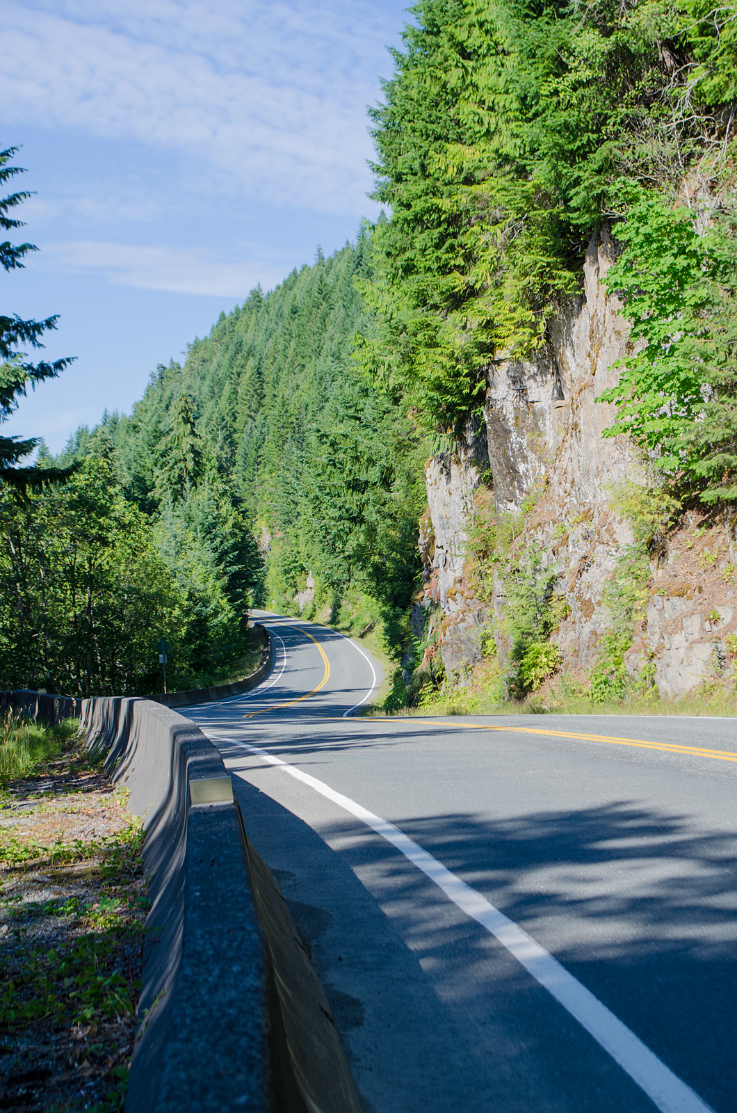
The drive is worth the effort. First, there's the rock face beside McCreight Lake; 300 metres almost straight up, measured on Google maps terrain view.

Foto from 2016. The road right here is good, but watch for falling rocks.

I didn't stop here this time; on the way back, I told myself. But plans change.

View over the end of McCreight Lake. Needle Peaks in the distance, I think.

To be continued: Next, Bottle Pond.

~~~~~~~~~~~~~~
El norte de la Isla de Vancouver es un mosaico de zonas de tala de madera, conectadas por una telaraña desordenada de caminos forestales: de grava, casi siempre con baches profundos, muchas veces traiconeros, raramente marcados en los mapas públicos. El Departamento de Parques Canadiense mantiene una serie de "Sitios de Recreación", normalmente consistente en unos cuantos lugares para estacionarse, mesas de picnic, un sitio de donde se pueden meter barquitos al agua, y una letrina rústica. Los caminos que dan a estos sitios muchas veces sí aparecen en los mapas; a veces hasta tienen nombres. El camino que sale de la carretera 19 y va hacia Rock Bay es uno de estos: Rock Bay Road. No hay vista de Street View, claro; los camiones de Google nunca han llegado aquí.

La primera vez que vi este camino, estábamos a medio invierno, y los baches eran frecuentes, hondos, y llenos de lodo resbaloso. Ahora en el verano, han limpiado el camino por lo menos una vez, en preparación para la temporada de turismo. Los baches regresan, con el tráfico y el clima, pero por ahora ninguno es capaz de romper un eje de mi coche. Y hay tráfico; en los 17 kilómetros hasta Rock Bay, (y en la media hora que me tomó llegar allí) vi unas 4 o 5 camionetas y un coche. Un letrero cerca del lago McCreight da el límite de velocidad permitido: 30 kph. Lo que nunca logré, teniendo que mimar mi cochecito, siempre preparada para frenar rapidamente y maniobrar entre los baches y las rocas caídas en el camino. 

Vale la pena. Hay mucho que ver. Primero, las rocas que miran hacia el lago McCreight: se levantan por 300 metros casi verticales al lado del camino, calculado en la vista por terreno de Google.

Foto: Una vista de esas rocas. El camino aquí está bien cuidado, pero hay que estar alerta; aquí caen rocas. Esta foto es de 2016. Esta vez, no me detuve; lo dejé para la vuelta de regreso. Y cambiaron los planes.

Foto: La vista sobre un extremo del lago McCreight. La montaña enfrente es "Needle Peaks" (Pico de Agujas), creo.

Continuará; en seguida, la laguna de la Botella.


Monday, July 15, 2019

Giant's laundry

Every now and then I find a log on the ground that's twisted in a spiral, as if some giant had hand-washed it, wrung it out, and forgotten to hang it to dry. I have wondered what caused that; could it have been because of the way it fell?

But today, I found one still standing, and already wrung out.

Tall, twisted snag. On the highway to Zeballos.

Mid-section showing the spiral twist. The snags next to it are perfectly straight.

With a little twisty baby on the top.

Zeballos highlighted in pink. Snag halfway there from Hwy 19.


Sunday, February 17, 2019

No name lake

Seen in passing.

Lake with a sort of swimming platform, accessed by swimming, I guess.

Vancouver Island is dotted with hundreds of lakes like this. Some smaller ones have names; some larger ones don't. This one is between Echo Lake and Mirror Lake, along a private logging road with access for summer recreational use. On Echo Lake, there is a pier and campsites; here, it's just a gravel road passing by.

Not seen in the photo: the call of a lovesick eagle in the distance, the rustle of dried grasses and waterside plants, the smell of dust and dying wood, spiced with fresh evergreen needles. Nor the potholes in the road, ever increasing in size and depth, until I had to turn back, not wanting to lose an axle on the back side of nowhere.

Some of the little lakes I passed this day, two weeks ago, wore a thin skin of ice; this one lies in full sun and there's not a hint of ice, even near the shore.

Now, of course, the banks are deep in slushy snow. It snowed again today. Then rained on the snow, of course: this is coastal BC.

Sunday, January 13, 2019

Lake Hoomak

I drove north, looking for snow. Didn't find any, but I found a trail alongside Lake Hoomak.

The lake.

More photos and the story, soon.

Saturday, August 25, 2018

Carrot carrot

aka Daucus carota (literal translation), Queen Anne's Lace.

Seed pods, looking like miniature hairbrushes. Each pod contains two seeds.

The flowers are white, on pinkish stems, but the central flower is often a deep purple. Here, with a busy ant, out of focus.

Another flower head. No purple centre flower, another ant.

Found at Eve River Rest Area, south of Woss.

Tuesday, August 21, 2018

Northern lupines

Near the north end of the island, the lupines are just going to seed. Down here in Campbell River, the pods are black and hard, and mostly empty already.

This is probably the Arctic Lupine, Lupinus arcticus*.

The green pods look like woolly caterpillars up close:

Very fuzzy!

A few plants still are producing flowers.

* Nootka lupines** grow this far south (but not as far down as Campbell River), but the stalks are taller, up to about 1 m. tall. These were under two feet tall.

** Bears like to eat the roots of Nootka lupines. So do some of the First Nations people; the Nuxalk roast them or steam them in pits.

Monday, August 20, 2018

Looking back, looking up

It was long ago. Long, long ago. Our car had a wide ledge behind the back seat, with the rear window slanting down over it. It was my bed when we were travelling. I lay there watching the tops of the trees slide by, watching the night settle in, turning the greens into blacks against a blue-black sky.

Looking back. Campbell River, 76 km.The overpass is a logging road.
 
Dad slept during the mornings, then drove through the afternoon and night. We averaged, back then, about 300 miles a day, crossing and re-crossing the continent on two-lane highways. My brothers slept on the back seat, Mom nodded off in front. I watched the sky and the tree line.

Bridge over a creek

A few years later, Dad drove a '34 Dodge. The back-seat ledge was too small, and I was too big by then, anyhow. I sat behind Dad, leaning forward against his seat, (no seat belts in those days!) watching the road while he drove. In the blue distance, a glow in the sky meant we would be passing a town, a moving light was a car coming our way. There weren't many of those.

The trees lose their upper greenery in the winter storms.

Down the west coast, the skyline featured hills clad with evergreens. Then there were the flats through Arizona and New Mexico; here I watched the heat shimmers over the road, and the scrub bushes sprinkled across the dry land. Cotton fields down the Mississippi, urban sprawl up the east coast. I missed my treetops.

Sky and spikes over Rooney Lake (down in the valley)

I grew up, drove my own cars, watched the skyline up and down the continent; rocky hills in Mexico, green jungles in Guatemala, towering mountains in Oregon, beckoning glaciers in the north country; here the glow on the horizon at night was the northern lights.

Dropping into the Woss valley. The town is surrounded by tall peaks, 1600 m (5250 feet) and higher. I don't know which ones these are.

Time runs on. I'm back more or less where I started. And I drive with one eye on the treetops and the mountains ahead. They draw me on, around the next bend, over the next hill, deep into the valleys; I want to stop to look, to delight in the view, but the road holds me in a hypnotic grip.

Snags, tall trees, and a logging truck warning.

I drove to Woss for coffee and a sandwich a couple of days ago. Three hundred kilometres round-trip. An expensive sandwich. The ever-changing skyline made it worth my while. Nearing Woss, I stopped several times to take its photo.

Down, down, down. The valley is deep.

As long as the hills stay green, I can drive forever.

Criss-cross skies. Contrails and blowing clouds.

A Skywatch post.

Friday, August 03, 2018

Looking up

Most of Vancouver Island, on a map of the terrain, looks like that piece of aluminum foil that you gave up trying to flatten out.

Central Vancouver Island, Buttle Lake to the west coast.

The two highways on the north end follow valley floors and skirt the shores of lakes, and rarely climb more than 200 metres (600 some odd feet)*, but the view from those highways is mostly vertical.


Hwy 28, on the shore of Upper Campbell Lake, looking southwest.

The same spot, looking back towards Campbell River.

And looking through the trees at the lake and the mountains on the far side.

A bit further down the highway, sun and shadow on the upper part of a cliff face.

*Logging roads don't follow this rule. They go where the trees are.

Sunday, July 23, 2017

Nose to the ground

At the clearing near Nimpkish Lake, the soil is shallow, mostly made up of dust from the cliffs above and gravel from road-building activity. This far north, the growing season is short and dry, the winters long, dark, and sopping wet. It's good country for evergreen trees; not so nurturing for smaller, short-lived plants. The tallest plants in the clearing were the grasses near the edge, mostly less than a foot tall.

Towards the centre, away from the shelter of cliffs and trees, most of the vegetation hugs the ground, staying out of the wind, close to any dampness available. I got down on my knees and elbows to look at the lichen and found much more.

Cladonia lichen*, moss sporophytes, Alpine azalea**, and a miniature flower with interesting leaves***.

If you look closely, you can (barely) see the moss; dark, yellowish-brown clusters. I think the green shrub is the Alpine azalea, Loisleleuria procumbens, which has leaves from 3 to 8 mm long (about 1/8 to just over 1/4 inch).  I can't identify the tiny plant on the far left; I didn't even see it while I was there, so didn't aim the camera at it.

Update #2: In the comments, Matt Goff, of Sitka Nature, identified the lichen (*) as a Stereocaulon. I found one of these growing in this area, on E-Flora; the Stereocaulon alpinum, Alpine foam. (I like the name.)

** Matt says he doesn't think the green shrub is Alpine azalea, but has no suggestions.

*** And the tiniest flower, up in the top left corner is an Euphrasia, aka eyebright. E-Flora has two on Vancouver Island; E. nemorosa, common eyebright; one of those records is of a find beside the road near Port Hardy, a bit north of where I found this one. And the Arctic eyebright, E. subarctica, was found also beside the road; at Keta Lake, a bit to the south.

Moss sporophytes, standing tall (ish) on brown stalks, encased in pointed wrappings. A few have shed the covering.

On the right, the lichen has dark brown spots, reproductive structures. And on the left, an intriguing spotted, hairy plant. If the azalea leaves are 1/4 inch long, the leaves of the spotted plant would be about 1/2 inch.

I couldn't identify this plant. I think it may be the same as the one I found near Heckman Pass (on the Bella Coola road) a couple of years ago.

Not quite so spotty, but otherwise similar. Somewhat larger.

I couldn't identify it then, either. Any ideas?

Update: It's one of the hawkweeds, either Mouse-ear hawkweed, Hieracium pilosella, or White-flowered hawkweed, Hieracium albiflorum. Here are the white-flowered ones just across the water in Powell River, on Powell River Books Blog.

Update # 3: It's been definitely identified as the White-flowered hawkweed.

Nimkish Lake area and Heckman Pass, more or less.

Saturday, July 22, 2017

Roadside delights

The weather has turned, finally. Rain has brought some relief to our burning province. Not enough to put out the fires on the mainland, but at least a hint of normalcy.

Last week, while even here on the island, even on the beaches, the air felt like the breath of an angry dragon, I headed north, hoping for a bit of coolness. I found it, up in Port McNeil; the skies were grey, the wind soft, sprinkling gentle drops of rain over the trees. Ahhh!

Partway there, between Woss and the southern tip of Nimpkish Lake, where the sun still shone, I stopped at a clearing beside the highway. A sign called it a viewpoint, but there was nothing to see but trees and cliffs. Through a gap in the trees, I caught glimpses of a pool below, too small to be called a lake, and have a name.

But there were flowers dancing in the wind, and lichen, and mosses. Who needs a view?


Daisy and grasses

It must be the wind and the clean air this far from "civilization"; there's no dust on the flowers, even just beside the highway


Pink flowers, with 6 petals, opposite, long leaves, on stems about a foot tall.

I couldn't find these flowers in either of my guides. And they're confusing: look at these others:

Much smaller flowers, but with the same configuration. Except that they only have 5 petals. The little brown spiky thing is a moss sporophyte.

These second flowers were tiny; I couldn't count the petals until I looked at the photos. And except for the size and the number of petals, they're identical to the others. A different species, or a variety of the same species?

Update: The 5-petalled variety has been identified, on Twitter, as Common centaury, Centaurium erithraea.
Salal flowers. Always so delicate!

The native trailing blackberry, Rubus ursinus. The ripe berries will be black, but small and scarce. And delicious.

I'll leave the lichen and moss, and an even tinier flower, for tomorrow.

Monday, April 17, 2017

There and back again

I had four hours before sunset. And I'd been shut in by wet weather for too long; I needed space, an empty road, the whispering silence of the north woods. I took the highway north, stopping occasionally to take another photo, or follow a short trail down to a lake or to a bridge over a river. In spots, the sun shone. Around the next curve, it could be pouring rain, or the road might be hidden in grey fog. A minute later, the sun would be in my eyes, so dazzling I had to duck and squint to see the road.

At sunset, I turned back. I had almost made it to Port McNeill, but there hadn't been a goal; the road was enough. It took two hours to return, driving slowly through rain and drifting mist, keeping an eye out for deer.

Somewhere along the road. The sun hangs low in the sky, creating deep shadows.

Scotch mist leaching most of the colour out of the landscape. Down south, most of our trees are bright with new leaf buds; here, the branches are still bare.

Nimpkish River, I think. 

And Nimpkish Lake.

Nimpkish Lake forms a wide and extremely deep spot along 14 miles of the Nimpkish River. In fact, Nimpkish Lake is the deepest lake on Vancouver Island, reaching a depth of nearly 1000 feet below sea level. Located within the traditional lands of the 'Namgis First Nations tribe, legend says the name Nimpkish means "halibut on the bottom".

Pink-stemmed horsetails, Equisetum sp. These are the fertile stems, with spore-bearing cones; the sterile, brush-like stalks show up later in the year. E-Flora records 10 species of Equisetum in BC.

Hoomak Lake. Steps lead down from a rest stop above, and an interpretive forest trail leads off in both directions. Another day, after the rain gives up, I'll check it out.

Interesting plant with its feet in the water.

Zooming in on a few branches. Much lightened up: this was in fairly deep shade.

At one rest stop, a small flock of pale brown, sparrow-like birds foraged in dry, yellowish grasses. The birds' bellies were the same yellow as the grass. I tiptoed towards them, so cautiously, but they saw me coming and took flight.

And I passed fields bright with skunk cabbage. Some photos tomorrow.

A Skywatch post.


Powered By Blogger