Most of Vancouver Island, on a map of the terrain, looks like that piece of aluminum foil that you gave up trying to flatten out.
 |
| Central Vancouver Island, Buttle Lake to the west coast. |
The two highways on the north end follow valley floors and skirt the shores of lakes, and rarely climb more than 200 metres (600 some odd feet)*, but the view from those highways is mostly vertical.
 |
| Hwy 28, on the shore of Upper Campbell Lake, looking southwest. |
 |
| The same spot, looking back towards Campbell River. |
 |
| And looking through the trees at the lake and the mountains on the far side. |
 |
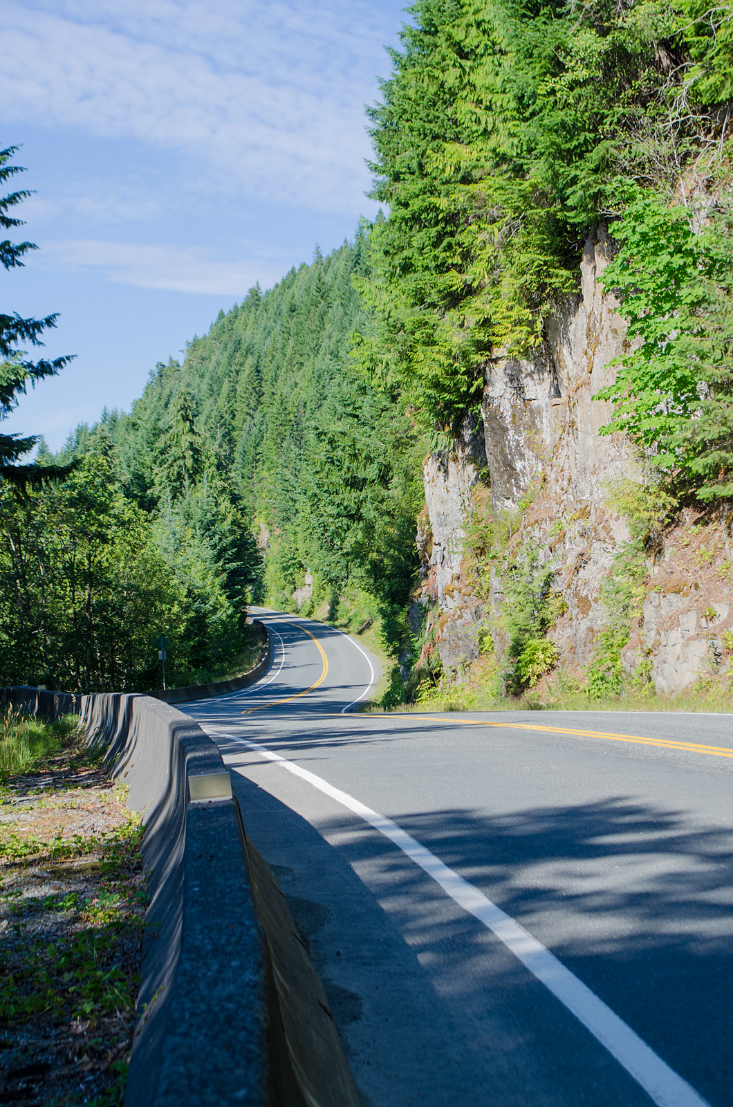
| A bit further down the highway, sun and shadow on the upper part of a cliff face. |
*Logging roads don't follow this rule. They go where the trees are.


No comments:
Post a Comment
I'm having to moderate all comments because Blogger seems to have a problem notifying me. Sorry about that. I will review them several times daily, though, until this issue is fixed.
Also, I have word verification on, because I found out that not only do I get spam without it, but it gets passed on to anyone commenting in that thread. Not cool!