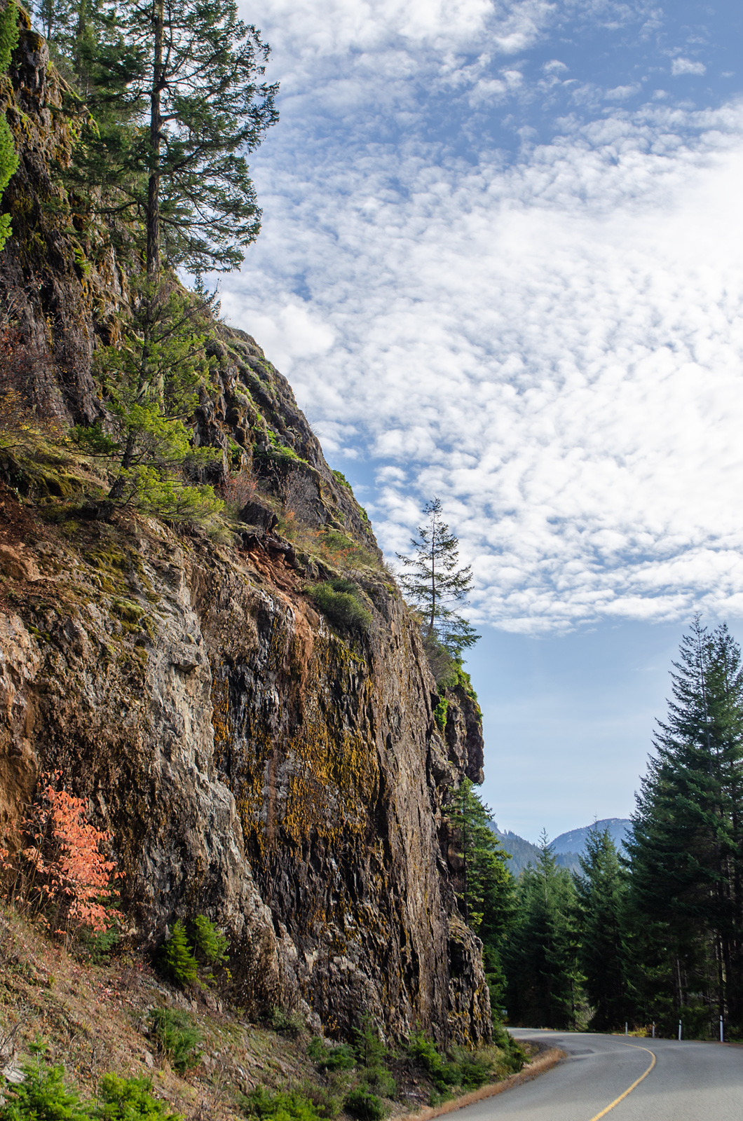
The road down the west bank of Buttle Lake (there is no road on the east bank) runs along a ledge cut out of almost vertical cliffs, sometimes almost at water's edge, mostly well above the tops of trees on the banks, with more rocks looming overhead.
 |
| Rugged rock |
The lake lies, glacier-scraped, in a deep valley, fed by the constant trickles of water from the peaks above. 30 kilometres long, 1.5 wide at its widest point, it's more of a slow river than a lake, a drainage canal at the foot of the mountains.
 |
| I couldn't get back far enough to take in the full height of the cliff. Not without a boat to take me out into the lake. |
 |
| Google map. The white areas are mountain peaks.Golden Hinde is the highest mountain on Vancouver Island, at 2197 metres. |
 |
| Terrain view. From the lake surface, at 211 m above sea level, within 5 kilometres, the land has risen to 2000 metres, on both sides of the lake. |
The road winds along the cliff face. When it comes out from behind trees, there's a view over the water. But parking along the roadside is not permitted, probably because of the danger from falling rocks, and the instability (or lack) of the lake-side shoulder, so at these viewpoints, there will be a sign: PULLOUT 500 M. Half a kilometre along, there's the pullout; a safe parking spot where the shoulder widens and looks firm. Usually, it's surrounded by bush; to see that viewpoint, you have to walk back those 500 metres, a kilometre round trip for a photo or two. I did this three times.
At a couple of pullouts, though, there were gaps in the trees. One gave me a view of Mount McBride, 5 km away down the Wolf River valley.
 |
| Mount McBride, 2081 m. high.The little yellow trees are cottonwoods on the east shore of the lake. |
 |
| These signs were helpful. I wish there were more like them. |
 |
| Looking along another helpful sign, to Marblerock Canyon. |


No comments:
Post a Comment
I'm having to moderate all comments because Blogger seems to have a problem notifying me. Sorry about that. I will review them several times daily, though, until this issue is fixed.
Also, I have word verification on, because I found out that not only do I get spam without it, but it gets passed on to anyone commenting in that thread. Not cool!