Showing posts with label cliff faces. Show all posts

Monday, January 20, 2025

Cliff, non-conformist

This was strange. Unexpected and confusing.

The sun was shining; where you stood in its light, you could feel the gentle heat. Otherwise, along the edges of the lakes (Upper Campbell and Buttle) the temperature was near freezing. In spots, where the shadows hadn't seen sunshine all day, a light coating of frost or sometimes snow dusted the ground.

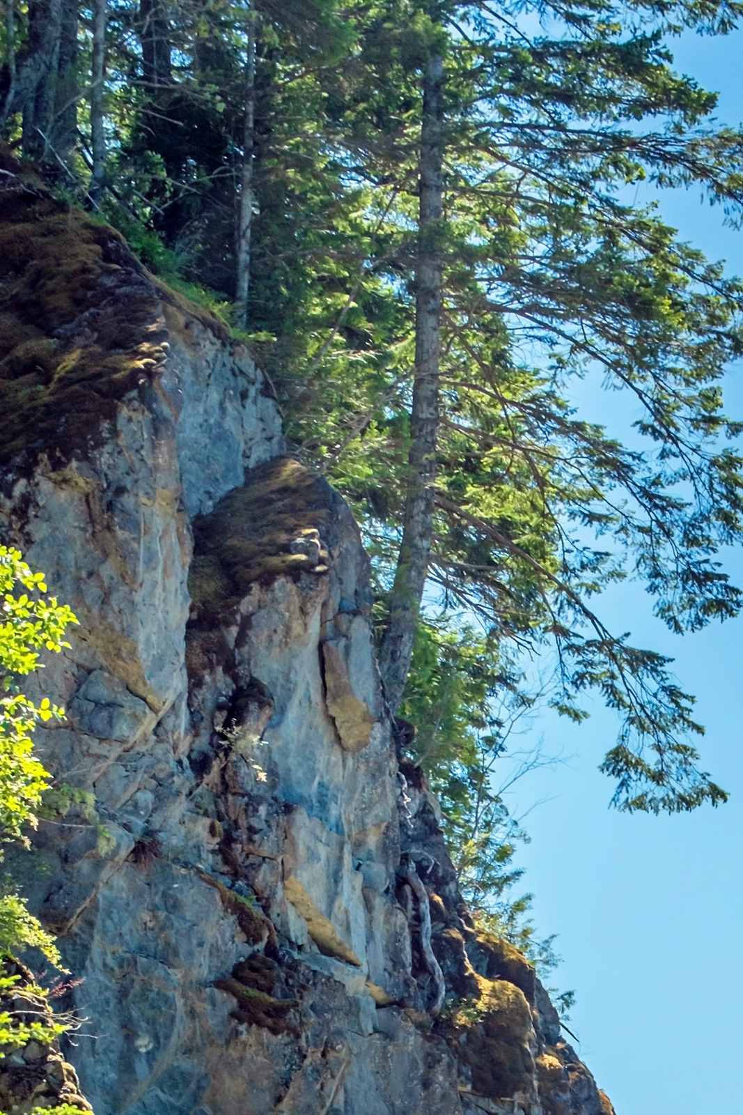
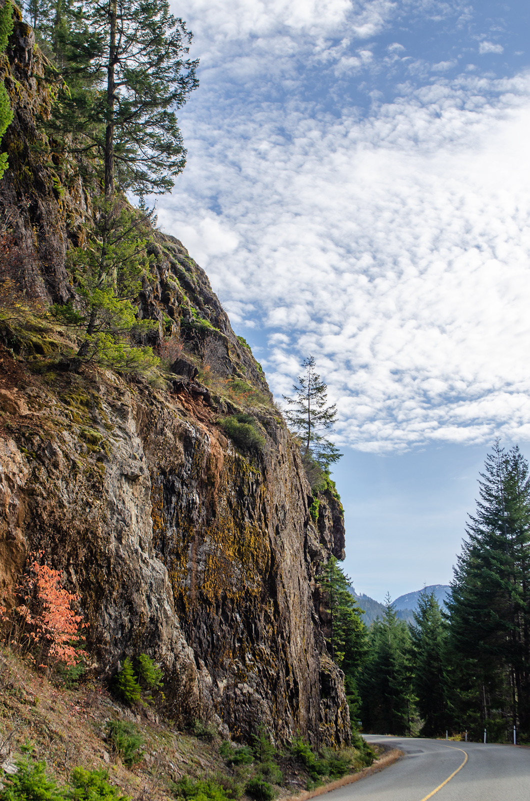
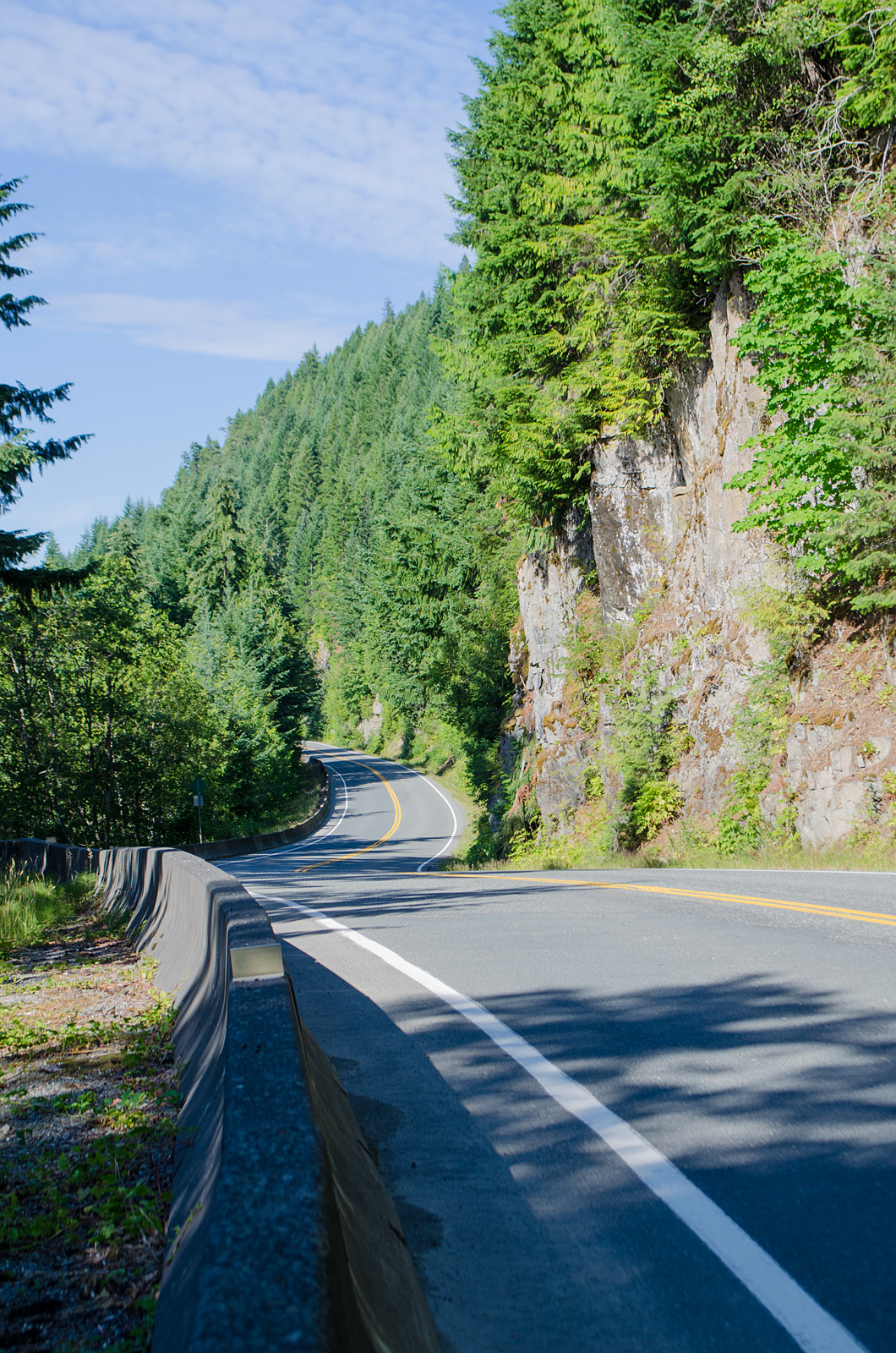
Along the upper end of Upper Campbell Lake and the bottom of Buttle Lake, the highway follows the east shore, heading almost directly south. This is an area of high, stony cliffs, facing west here; the afternoon sun hits them full on, even in winter.

One of these cliff faces, just one, was producing ice. It coated the vegetation in the shallow ditch beside the road. Above, the rock was clear, but wet; isolated drips fell onto the frozen plants below, probably from melting ice farther up. Moss and plants closer to the rock were untouched, ice-free. 

This was the only icy spot. It was in a bad spot for parking; the road was narrow, without a shoulder, and trucks could be expected to barrel around the curve at any moment. The nearest pullout was over a kilometre away in both directions. So I drove on, then back, then back again, looking for more ice. There was none, and I finally eased the car into a spot between guard posts, too close to the drop off for comfort, but it was the best I could manage.

And the icicles weren't following the rules. Some hung directly down, as gravity demands; but others hung at strange angles, up to a 30° angle off the vertical. Why?

See:

Ferns in ice. The moss is ice-free.

Ice-covered  branches.

Insane icicles.

Another fern. Ice coats one hanging vine; the others, on the right, are ice-free. Go figure.

Rose hips in ghostly shrouds.

And all the way to the middle of Buttle Lake, there was not a spot of ice on any of the rock faces. Or on the ground below them. Just on this one, with its own personal microclimate.

~~~~~~~~~~~

Esto era algo extraño, inesperado.

Era una tarde asoleada; se te detenías donde la luz del sol te llegaba, sentías un calor suave. Aparte de eso, en las orillas de los lagos Upper Campbell y Buttle, la temperatura andaba cerca de 0°C. En sitios en sombra, donde la luz no había tocado en todo el dia, el suelo llevaba una leve capa de nieve o de escarcha.

Desde el centro del lago Upper Campbell, hasta el centro del lago Buttle, la carretera sigue la orilla occidental, dirigiéndose hacia el sur. En este rumbo, el  agua llega hasta el pie de peñascos altos, con sus caras hacia el oeste; el sol de la tarde les pega directamente, aun en invierno.

Uno de estas pilas de piedra producía hielo. Uno solamente. El hielo cubría las hierbas que crecen en la zanjita al lado de la carretera. Arriba, la roca estaba mojada, pero sin hielo. De allí, gotitas aisladas de agua, probablemente producidas por hielo que se descongelaba, salpicaban las plantas congeladas. El musgo que cubre la faz de la roca, y algunas plantas más protegidas se quedaban sin hielo.

Este era el único lugar con hielo. Era un sitio no apropriado para estacionarme; la carretera es angosta, sin acotamiento, y en cualquier momento se podría esperar algún camión minero manejado a la máxima velocidad permitida. El primer sitio donde se había proveído un espacio para permitir el paso estaba a más de un kilómetro en ambas direcciones. Así que seguí adelante, di vuelta cuando pude, pasé por enfrente, y volví a pasar. Esto, sin ver hielo en ningún otro sitio. Por fin, me arrimé lo más que pude, estacionando el coche en el mero borde de la caída al agua. No muy seguro, pero, ni modo.

Y los carámbanos no obedecían las reglas. Algunos colgaban apuntando directamente hacia el suelo, como exige la gravedad, pero otros apuntaba en varias direcciones, hasta a unos 30° de lo vertical. ¿Porqué?

Fotos:

  1. Helechos cubiertos de hielo, y musgos sin hielo, en la faz de la roca.
  2. Ramitas completamente cubiertas.
  3. Carámbanos locos.
  4. Otro helecho. El hielo cubre por completo una de las ramas colgantes; otras, al lado derecho, quedaron completamente libres.
  5. Escaramujos (rojos) en sudarios de fantasmas.
Y en todo el camino, desde aquí hasta la mitad del lago Buttle, no hubo ni un solo pedazo de hielo en ninguna de las rocas. Solamente en este sitio, con su microclima muy personal.

Friday, July 12, 2024

Green skin and burrowing roots

I had to go back. I had intended to take photos of the cliffs at McCreight Lake, but ended up at Pye Lake instead. So I went back, just for the cliffs.

View from the lake shore. The road runs behind those trees at the bottom.

From the road, on foot, (WATCH FOR FALLEN ROCKS, a sign warns) the view is mostly vertical.

Rock face, with green skin.

How do they do that? The trees; how can they grow on a hands'-breadth of soil? I have deeper soil in my flower pots at home for my sweet peas!

A mere toe-hold.

How deep does a 50 metre tall tree (hemlock) or a Douglas fir (200 m. tall) need to dig its roots so as not to fall over? Oh, Google!

The hemlocks and western red cedars have a shallow root system. The Douglas fir's roots go down deeper; from 0.6 to 1 metre, with their fine roots concentrated in the upper 20 cm of soil. Just that? But that layer of soil is half that! 

So they spread their roots out in that thin, thin layer of moss and duff. Which isn't all that firmly attached to the rock: it's easy enough to detach it with one hand. So how do they stay put?

TreePlantation.com explains:
To overcome the hurdles posed by the rocky terrain, their roots seek out the smallest fractures within the rock structure. They follow these hairline cracks and fissures in the rock, inching their way deeper into the unforgiving terrain. As they penetrate further, they exert pressure,* gradually widening these cracks and burrowing deeper into the rocky structure. The result is a complex network of roots, splitting and webbing throughout the rock. (RootAdaptation)
*The seeds above a crack push their first small root – the radicle - inside the crack and quickly search for water. The radicle is capable of developing a pressure of over 50 bar (725 psi). (Groasis)

(For comparison, the air in my tires has a pressure of 32 psi.) 

Another treed cliff.

Thinking it over, thinking of those fine roots burrowing and fattening and networking deep inside the rock; maybe I have it backward; could it be that those fallen rocks were pried off by the trees?

Biological weathering, they call it.

~~~~~~~~~~~~~~
Tuve que regresar. Había planeado sacar fotos del acantilado frente al lago McCreight, pero me desvié hacia el lago Pye. Pues, regresé solo para mirar esos precipicios.

Fotos:
#1: Parte del acantilado, visto desde la orilla del lago. El camino corre atrás de los árboles en la base.

#2: Desde el camino, a pie, (PELIGRO: ROCAS CAIDAS advierte un letrero) la vista es casi vertical. Esta roca muestra su revestimiento verde.

¿Cómo lo logran? ¿Los árboles; como es que llegan a crecer en suelo del espesor de unos 15 centímetros? ¡En mis macetas en casa, tengo tierra más profunda para mis guisantes de olor!

#4: Agarrándose con uñas y dientes. Apenas.

¿Cuán profundo tiene que extender sus raices un árbol que mide 50 metros de altura, como la tsuga (T. heterophylla) o hasta 200 m, como el abeto de Douglas para no caerse? Le pregunté a Google.

Las tsugas del Pacífico y los cedros rojos tienen un sistema de raices de poca profundidad. Las raices del abeto de Douglas se hunden algo más, llegando desde 0,6 hasta 1 metro de profundidad, con las raices finas extendidas en los primeros 20 cm. de tierra. ¿Solamente eso? ¡Pero esa capa de tierra encima de la roca es apenas la mitad de lo que necesitan!

Entonces; extienden sus raices horizontalmente (o por lo menos paralelo a la superficie de la roca) dentro de esa capa tan delgada de musgos y humus.  Lo cual no se adhiere muy firmemente a la roca; la puedo levantar con una sola mano. Entonces; ¿cómo es que se mantienen en su sitio?

El sitio web TreePlantation.com lo explica:
Para superar los obstáculos que impone el terreno rocoso, sus raices buscan las grietas más pequeñas en la estructura de la roca. Siguen estas fisuras y rendijas, del grosor de un pelo, forzando su entrada centímetro por centímetro en el terreno inhospitable. Al penetrar más adelante, ejercen presión*, amplificando gradualmente estas grietas y cavando aun más hondo entre la estructura de la roca. El resultado es una red compleja de raices, dividiéndose y uniéndose dentro de la roca. (Adaptación de Raices)
*Las semillas sobre una grieta empujan su primera raicita — la radícula — dentro de la grieta y rapidamente buscan agua. La radícula es capaz de desarrollar una presión de más de 50 "bar" (725 psi - libras por pulgada cuadrada) (Groasis)
(Para una comparación, el aire en mis llantas lleva una presión de 32 psi.)

#4: Otro acantilado con árboles.

Pensándolo bien, al pensar en esas raices finas excavando y engordándose y haciéndo redes en las profundidades de la roca, creo que es posible que lo he estado viendo al revés: ¿puede ser, tal vez, que esas rocas caídas fueron desprendidas por los árboles?


Tuesday, June 29, 2021

Under a blue, blue sky

 Great masses of rock. Millions of years of rock. These are along the shore of Buttle Lake.

And every so often, a chunk breaks off and crashes into the ditch.

First layer. The rocks go on back, mounting ever higher.

Fleeting clouds.

Buttle Lake at the mouth of Lupin Creek.

Another Skywatch post.

~~~~~~~~~~~~~~~~~~~~~~

Rocas. Millones de años de rocas. Estas se levantan alrededor del lago Buttle, y de vez en cuando dejan caer un pedazo a la zanja o al lago. La última foto muestra la playita empedrada a la boca del riachuelo Lupin.

Otro post para Skywatch.


Thursday, September 17, 2020

Vertical

A few more cliff photos along the eastern shore of Buttle Lake. Because I just can't resist a good pile of rock.

View from the far side of the road along the shore.

There's the road at the bottom.

A large white section.

The lake is long and narrow and makes a good wind tunnel. I noticed moss hanging sideways on tall trunks facing the shore, and here, the trees seem to huddle towards the cliff, as if for shelter.

That same white patch, with a square-cut block, tipped over. What dances went on in these rocks over the millennia?

Somewhat tamer rock face, and a sharp curve with no visibility. Typical for this road.

Small plants shelter in the shadier spots. Here, pearly everlasting, maidenhair ferns, willow, grass,and a couple of others I can't identify from the photo. And moss, of course.

~~~~~~~~~~~~~~~~~~~~~

Aquí presento unas pocas fotos más de los precipicios al lado del lago Buttle. Porque no puedo resistir un gran montón de piedra.

En la tercera foto se puede notar que los árboles se inclinan hacia la roca, como si buscaran protección. El lago es largo y angosto, y forma un túnel de viento. Noté en otros árboles que el musgo cuelga casi horizontalmente.

La penúltima foto muestra un precipicio menos llamativo, y una vuelta en el camino sin visibilidad, típica de esta carretera.

En la última foto, se ven plantas chicas que se refugian en una grieta, fuera del calor del dia.


Friday, July 24, 2020

Wild planter

Wherever there is a smidgen of soil for a root to hide in, there's a garden. It doesn't matter if the soil is damp or dry, on the flat, or halfway up a vertical cliff.

Woolly sunflower, self-heal, and grass. And tiny pale blue flowers, too small to identify. Cliff face, Buttle Lake.


~~~~~~~~~~~~~~~~~

Dondequiera que haya una pizca de tierra donde pueda esconderse una raiz, habrá un jardín. No importa si la tierra sea seca o húmeda, en el llano, o a medias de un precipicio vertical.

Las plantas aquí, en un acantilado al lado de Buttle Lake, son el mirasol lanudo (Eriophyllum lanatum), consuelda menor (Prunella vulgaris ssp. lanceolata), pasto, y unas florecitas azules tan chiquititos que no se pueden identificar.

Thursday, July 23, 2020

Lumpy cliffs

The highways crossing the island follow valleys and lake shores. But the terrain is standing on end, so the road usually runs along a narrow shelf; water at the bottom of a slope on one side, almost vertical rock faces or towering forest on the other, with only a narrow shoulder or ditch separating road from rock. I watch the rock faces as much as I do the lake views.

A wide spot on the highway beside Buttle Lake. Goldenrod, cliffs, forest.

At one spot along the Buttle Lake shore, the rock face turns lumpy, pillowy.

Brown and blue rock.

It looks like something made out of PlayDough.

Same rock, slightly different angle.

I don't remember seeing rock like this before.

Another face, a few curves down the road.

A few more turns, and the cliff faces returned to "normal".

~~~~~~~~~~~~~~~~~

Las carreteras que cruzan la isla siguen el agua; ríos y lagos. Pero porque el terreno está tan accidentado (mi mamá decía que era una mesa, pero con las patas para arriba), los caminos normalmente ocupan un corte angosto, con el agua allá abajo de un lado, y los bloques verticales de roca del otro.

Me paso mucho del tiempo mientras manejo, mirando esas caras rocosas.

Al lado del lago Buttle, vi estas rocas algo raras; parecen bolas de plastilina todas amonotonadas juntas.

Tuesday, July 07, 2020

Two rocks

And then I look at the rocks from inches away.

Rock at my feet. Moss and lichen and white stone.

The rock here, underfoot near Elk River, was brown, but there were these patches: white, crusty, harder (at least to my fingers) than the underlying brown rock. The grey patches are lichens.

Rock face, beside the highway. With stonecrop and moss.

And this rock is blue-grey. The whitish spots are lichens. The stonecrop, I think, is spreading stonecrop, Sedum divergens, smaller and redder than the stonecrop that gows on the ground.

~~~~~~~

Y luego, me acerco y veo las rocas de cerca.

La primera foto es de rocas bajo mis pies, donde el suelo del bosque no alcanza a cubrir los huesos de la tierra. Aquí, al borde del río, es de color café. pero tiene estos brotes de roca blanca, brillante, más dura que la piedra alrededor. Las manchas grises son líquenes.

La segunda foto es de un precipicio al lado de la carretera. Roca vertical. Aquí la piedra es gris, un gris azul. Las manchas blancas aquí son líquenes. Las flores son de la familia de los Sedum, probablemente Sedum divergens.

Monday, November 11, 2019

At the base of the cliffs

Where there is water, there is life. Even on bare rock.

Pearly everlasting guarding the door to a small cave. Water trickles down the right side wall and soaks into the broken stones beneath.

Licorice ferns and moss in a damp crack.

The foot of the cliff collects bits of stick and leaves, which hold the moisture. Lichens, moss, and ferns cover the scree.

Dying bracken fern in the ditch at the base of the cliff glows yellow in the sunlight.

Saturday, November 09, 2019

A cleft in the rocks

The road down the west bank of Buttle Lake (there is no road on the east bank) runs along a ledge cut out of almost vertical cliffs, sometimes almost at water's edge, mostly well above the tops of trees on the banks, with more rocks looming overhead.

Rugged rock

The lake lies, glacier-scraped, in a deep valley, fed by the constant trickles of water from the peaks above. 30 kilometres long, 1.5 wide at its widest point, it's more of a slow river than a lake, a drainage canal at the foot of the mountains.

I couldn't get back far enough to take in the full height of the cliff. Not without a boat to take me out into the lake.

Google map. The white areas are mountain peaks.Golden Hinde is the highest mountain on Vancouver Island, at 2197 metres.

Terrain view. From the lake surface, at 211 m above sea level, within 5 kilometres, the land has risen to 2000 metres, on both sides of the lake.

The road winds along the cliff face. When it comes out from behind trees, there's a view over the water. But parking along the roadside is not permitted, probably because of the danger from falling rocks, and the instability (or lack) of the lake-side shoulder, so at these viewpoints, there will be a sign: PULLOUT 500 M. Half a kilometre along, there's the pullout; a safe parking spot where the shoulder widens and looks firm. Usually, it's surrounded by bush; to see that viewpoint, you have to walk back those 500 metres, a kilometre round trip for a photo or two. I did this three times.

At a couple of pullouts, though, there were gaps in the trees. One gave me a view of Mount McBride, 5 km away down the Wolf River valley.

Mount McBride, 2081 m. high.The little yellow trees are cottonwoods on the east shore of the lake.

These signs were helpful. I wish there were more like them.

Looking along another helpful sign, to Marblerock Canyon.


Friday, August 24, 2018

Old favourite

Roadside pearly everlasting:

aka Anaphalis margaritacea. Perennial, in two meanings of the word.

I have an old photo of my Mom, taken after a hike through the coastal bush. She's carrying a bouquet plucked on the trail; salal leaves, Indian paintbrush, and pearly everlasting. It's a sampling of the different terrains her hike took her through; deep shade, wet cliff faces, mossy thickets for the salal, damp meadows and tidal marshes for the Indian paintbrush, and then, coming out into the sunlight and dry, stony slopes, the pearly everlasting.

Mom, 1955, Ferrer Point

Pearly everlasting was one of her favourites; mine, too. It holds its shape and colour as it dries, and lasts for years. (That's where it got its name.) In the long, wet, grey winters on the wet coast, that handful of everlasting was a reminder of the summer past, the warm summers to come. A vase on my bookcase holds last years bouquet, still looking fresh; this year's crop is drying, hanging upside-down on a hook in my hallway.

It grows thickly at this time of  year on gravelly roadsides, dry hillsides, and even bare rock:

Everlasting and its shadow, on a rock face.

Saturday, August 18, 2018

Elephant Rock

I'm calling this cliff "Elephant Rock".

Seen on Hwy. 19, south of Woss.

Terry Pratchett lives!

A Skywatch post


Friday, August 03, 2018

Looking up

Most of Vancouver Island, on a map of the terrain, looks like that piece of aluminum foil that you gave up trying to flatten out.

Central Vancouver Island, Buttle Lake to the west coast.

The two highways on the north end follow valley floors and skirt the shores of lakes, and rarely climb more than 200 metres (600 some odd feet)*, but the view from those highways is mostly vertical.


Hwy 28, on the shore of Upper Campbell Lake, looking southwest.

The same spot, looking back towards Campbell River.

And looking through the trees at the lake and the mountains on the far side.

A bit further down the highway, sun and shadow on the upper part of a cliff face.

*Logging roads don't follow this rule. They go where the trees are.

Thursday, December 08, 2016

Grows on rock

Even in the most inhospitable of locations, life will find a way. Enthusiastically, even.

On a tall rock face, scoured by wind, rain, ice and snow; alternately baked and frozen, dripping wet and bone-dry; bereft of soil, hard and knife-edged; lichens, mosses, ferns, and even trees find a foothold and happily settle in.

Cliff face over my head, beside Upper Campbell Lake. Bottle-brush moss lines the cracks, small lumps of dark brown moss speckle the bare face of the rock. There's even a bit of grass taking advantage of a dip.

Across the lake: yellow and green mosses basking in watery afternoon sunshine.

The moss is a primary colonizer; it traps bits of dust from the air and crumbling rock, and adds its own organic detritus. Other hardy plants and animals find shelter and nutrients under the moss, and a community is born.

Licorice ferns, three kinds of lichens, pine needles from the trees above, and mosses. The white stuff behind the ferns is snow.

A haircap moss, growing on the rock face.

At the foot of the cliff, on a cement wall (no more hospitable than the cliff). Moss and its spore cases.

And under and through all this green life, beetles, ants, springtails, and assorted flies go about their business. There's good eating up there on the mossy crags!

Still here. Where the arrow points to lichen.

Powered By Blogger