Given a tiny corner of an airplane window, and the pocket Sony, I had to take a few aerial photos.
 |
| Dawn over a mountain peak. unidentified. About one hour out of Vancouver, heading to L.A. |
I tried to find these places on Google, but gave up. Maybe someone more travelled than I would recognize them.
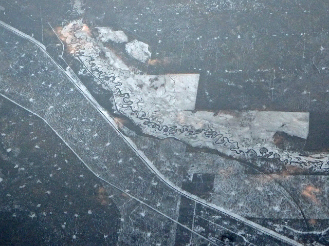 |
| A gift-wrap curly ribbon of a river. Three minutes after the mountain peak. |
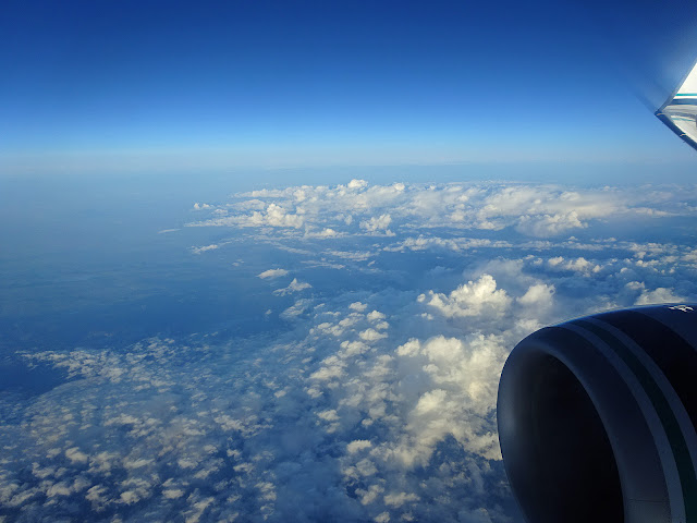 |
| Just clouds. Half-way to L.A. |
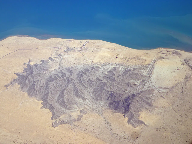 |
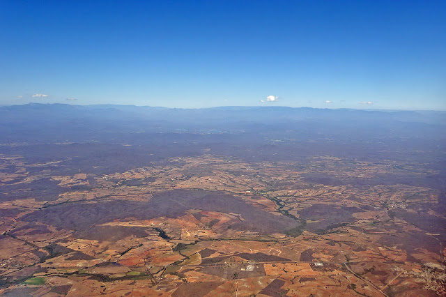
| Interesting patch of hills. Baja California? An hour south of L.A. |
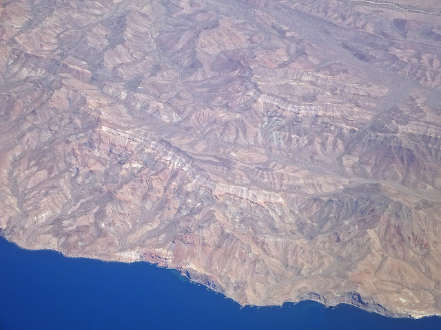 |
| Barren mountains along the coast. Half-way to Mazatlan from L.A. |
 |
| Farm lands. Still very dry, but with a few green patches and a river. Nearing Mazatlan. |
On the way back, I had no window for the first leg, then I watched the sunset for three hours, as we moved west, chasing the light.


I LOVE these photos! The perspective is truly beautiful. I don't ever fly, but these photos make me wish I did. Stunning.
ReplyDeleteI love a challenge. That mountain is Mt Bachelor. https://www.google.ca/maps/place/Mt+Bachelor/@43.9887689,-121.7002773,5603m/data=!3m1!1e3!4m2!3m1!1s0x54b8af23af5780ff:0xa39cbf4a70a69f91
ReplyDeleteI knew it was a ski hill from the terrain, and a few signature marks like the parking lot on the right, and the smaller mountain on the left seem to match up with what Google maps shows me (a lot more snow in your photo)
The river seems like the Deschutes River, Oregon, though I haven't identified the exact segment. It would match the "3 minutes past the mountain" description.
ReplyDeleteThanks, Tim. That's it! Now that you mentioned it, I can see the parking lot.
ReplyDeleteThe river seems that it would be easy to spot, given the location of the mountain, but I still can't find the segment.
ReplyDeleteRivers like this change shape frequently, such that the current view could be dramatically different from years-old satellite imagery. The Google Earth image of that river is dated 1994, 20 years ago. See this post for how dramatically a river can change in 25 years:
ReplyDeletehttp://sploid.gizmodo.com/see-how-a-river-totally-changes-over-time-in-this-gif-1767900640
---a few minutes later---
I found it! And the shape actually didn't change as much as I had expected (you'll have to use Google Earth to rotate it, which matches quite closely with your photo)
https://www.google.ca/maps/place/Gilchrist,+OR+97733,+USA/@43.5444378,-121.6383135,5341m/data=!3m1!1e3!4m2!3m1!1s0x54c775913c988b27:0xce2b50d82f33ac4c
I matched the pattern of the green area.
This section of the river from Google Maps is actually from 2013 (1994 the next oldest image available in Google Earth)
ReplyDeleteWow, Tim, that's some detective work!
ReplyDelete